Gaia Fishing

Coverage Area:
Oklahoma and Montana
Objective
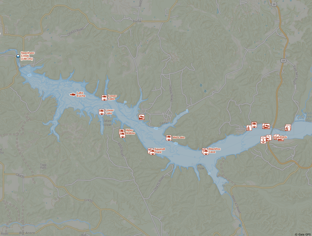
Produce a limited coverage map layer targeting anglers and collect user feedback before building out more coverage. This was a team project with Lee France and the feedback survey was sent to all Gaia GPS iOS users with an active nautical focused map layer in their account.
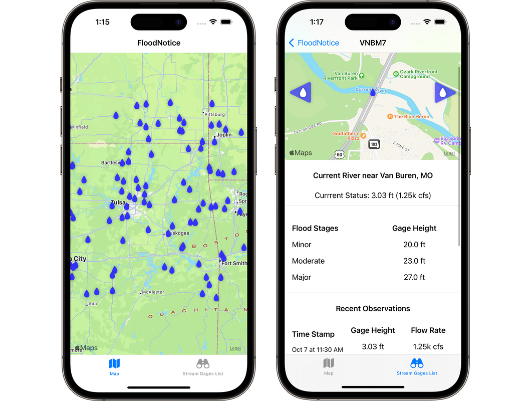
Multiple datasets were used to include fishing-themed POIs such as access points, license dealers, fish habitat areas, and etc. along with lakes, rivers, and bathymetry where available.
Feel free to share!

